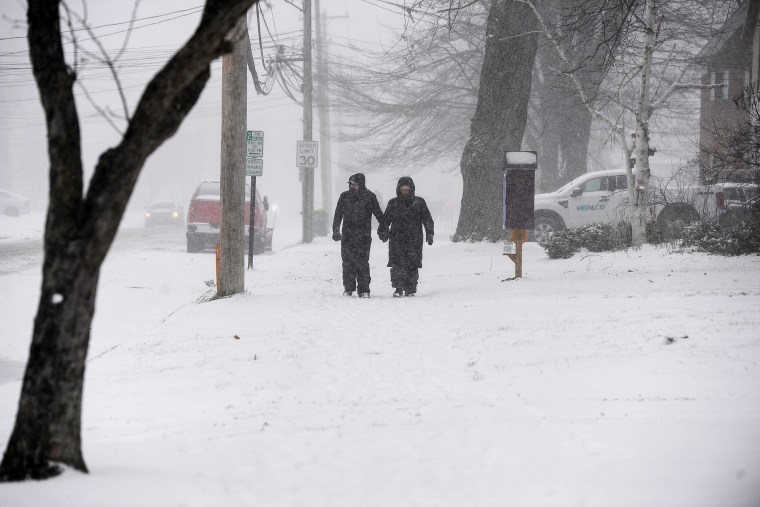
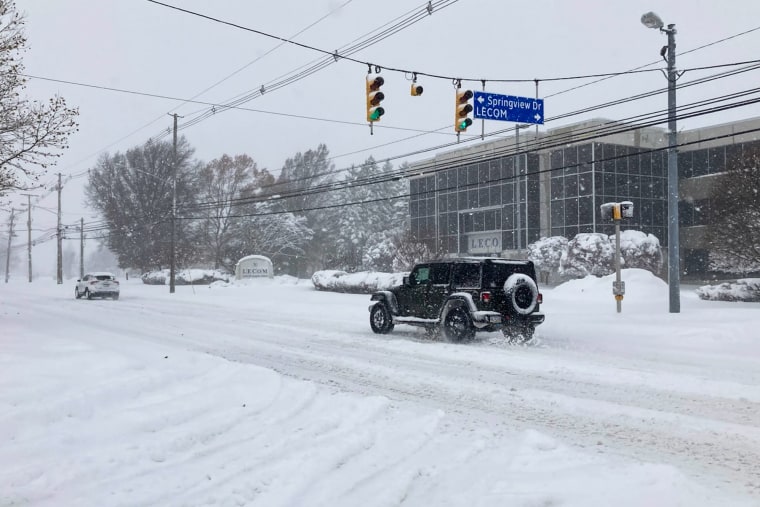
An Arctic blast has brought snow, frost and dangerously cold winds to the northern Plains, the Midwest and the Great Lakes, creating “very difficult to impossible” travel conditions on one of the busiest days of the year, as millions of people head home from their Thanksgiving destinations.
About 9 million people are under winter alerts across the nation, with nearly 3 million in parts of New York state, Pennsylvania and Ohio under warnings for lake effect snow showers, triggered by a clash of the south-moving arctic blast and comparatively warm lake water.
More than 2.3 million in parts of New York state, Michigan, Minnesota and West Virginia are covered by winter storm warnings and winter weather advisories, with the warnings stating heavy snow, ice and blizzard conditions are almost certain. The advisories state rapidly accumulating snow, freezing rain and blowing snow are likely.
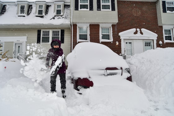
Travel-thwarting lake effect snow bands developed anew downwind of the Great Lakes in northeast Ohio, far northwest Pennsylvania and western New York and parts of northwest New York on Sunday, generating fresh accumulations and burying some locations in feet of the white stuff.
A location along the Black River in Jefferson County, New York, produced an accumulated-snow reading on Sunday of nearly 46 inches, according to National Weather Service data. Silver Creek in Chautauqua County measured 32 inches of accumulated snow, the data show. A location in Calcium, a small northern New York community east of Lake Ontario, measured nearly 1 foot on Sunday alone, the weather service said.
New York Gov. Kathy Hochul declared a state of emergency in multiple counties Friday, including Erie, Oswego and Allegany. Lake effect snow will continue falling in western and north New York through Monday, where residents can expect 1 to 4 inches per hour, according to Hochul's office.
Hochul warned New Yorkers to avoid unnecessary travel. More than 100 National Guard troops were staged in western New York “to support local communities,” she said in a statement.

Interstate 90 in western New York reopened to passenger vehicles Saturday afternoon after it was closed Friday, Hochul announced, adding that commercial trucks were still banned in both directions along the westernmost part of the interstate starting at Exit 46. An additional 1 to 2 feet of snow are possible in western New York, with the heaviest accumulations affecting Chautauqua and south-central Erie counties.
The highest accumulations are expected east of Lake Ontario, where some isolated areas could get up to 60 inches of lake effect snow by early in the week around the Watertown, New York, area, the NWS said. The Tug Hill Plateau will be hit especially hard, with an additional 1 to 3 feet of snow expected through Tuesday morning.
In metropolitan Buffalo–Niagara Falls, Orchard Park could get 8 to 20 inches of snow before Tuesday morning. The weather service office in Cheektowaga, New York, which covers Buffalo, said Saturday that bands of lake effect snow would be active in the Southtowns of Buffalo overnight, with 2 feet of snow and “extremely hazardous travel” possible.
Lake effect snow is forecast to begin affecting central New York and parts of the Mohawk Valley area Sunday into Monday, according to Hochul's office. Snow accumulations could reach 10 inches in central New York, while the Mohawk Valley region could get up to 5 inches.
Erie, Pennsylvania, has recorded 30 inches of snow, the most so far, according to the agency. Federal forecasters said as much as 6 feet of snow could cake the ground in northern Erie County by Tuesday. An additional 10 to 20 inches of snow can be expected in the city.

Brenton Davis, executive for Eerie County, Pennsylvania, said at a news conference Sunday that private contractors have been hired to clear snow across the region. The county is recommending that schools remain closed Monday and Tuesday, he said.
National Guard troops have been enlisted to transport those who need the rides to warming centers in the county, Davis said.
Pennsylvania Secretary of Transportation Michael Carroll urged people in the region to stay off the roads. "Give us today and tomorrow to restore order to the to the transportation network," he said at the news conference.
The weather service office in Cleveland said as much as 18 inches of lake effect snow was possible from the city to the Pennsylvania-New York state border on Sunday, which could affect travel throughout the snowbelt, the region southeast of Lake Erie.
An additional 2 to 10 inches of snow will be possible through Monday, affecting cities like Traverse City, Marquette and Ironwood in Michigan, and Milwaukee in Wisconsin.
Parts of eastern Kentucky and West Virginia remained under winter alerts Sunday morning as scattered snow showers persisted, according to the weather service. Charleston and Jackson, Kentucky, were included in these alerts through the afternoon, with 1 to 2 more inches of snow possible.
Freeze warnings and watches and frost advisories are in effect for more than 4 million people through Sunday night for southern parts of Georgia and northern sections of Florida. In Lake City and Gainesville, Florida, overnight lows will dip into the upper 20s and the low 30s.
The warnings state an extended period of subfreezing temperatures are likely, the watches state such temperatures are possible in the next day or so, and frost advisories warn that vegetation could be threatened by cold temperatures.
Temperatures from the northern Plains through the Midwest and the East Coast will remain 10 to 20 degrees below average Sunday afternoon. Highs in the Dakotas will reach single digits, while the Midwest will stay in the 20s and the 30s. In the mid-Atlantic and the Northeast, highs will range from the 30s to the 40s.
Temperatures across the Central and Eastern U.S. will generally stay at or below freezing through the week.

Earlier in November, the Transportation Security Administration projected that Sunday would be one of the three busiest travel days of the year.
More than 17 million people were under National Weather Service winter alerts Saturday — 3.6 million under lake effect snow warnings, 4.5 million under freeze warnings, 8.5 million under winter weather advisories and 1 million under frost advisories.
The weather service says lake effect snow is produced when a cold air mass moves south from Canada and beyond over the comparatively warm Great Lakes, pulling some of the lake water quickly into the atmosphere, forming fertile clouds and generating snow at a rate of 2 to 3 inches or more each hour.
Water temperatures on Sunday morning for Lake Erie and Lake Ontario were each 46 degrees, measured at a depth of 30 feet or more, which means surface temperatures were likely warmer, according to the weather service.
The arctic blast's effects are expected to taper off early in the week, but forecasters warned that colder air was still headed south, with an Arctic air mass spilling south out of Canada.


